The Kalamazoo River Once Almost Spanned The Entire State
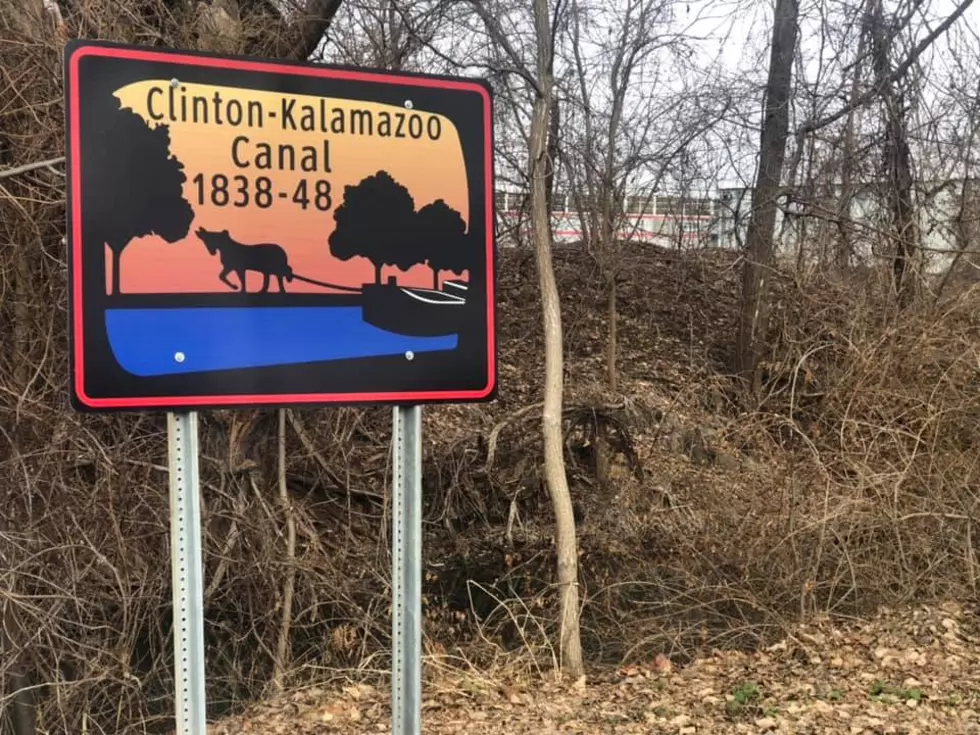
While I was on vacation over the holiday, I went to one of my favorite spots to take a nature walk, Holland Ponds in Shelby Township. I've gone there at least three dozen times, it's a good place to clear your head. This one particular time I noticed a sign that said something about Kalamazoo on it. So I had to go investigate what it was about. It turns out there was once a plan to build a canal linking the Clinton River on the east side, with the Kalamazoo River. This would have ultimately linked Lake Michigan with Lake St. Clair.
They hype surrounding the completion of the Erie Canal 10 years prior influenced the project, which started in 1938 and ended only 10 years later, cancelling the completion. The Wikipedia on the canal details the originally intended route: "The Clinton–Kalamazoo Canal was to begin in Mount Clemens on the banks of the Clinton River and continue through Utica, Rochester, Pontiac, Howell, Hastings, and finally to the mouth of the Kalamazoo River. In all, the canal was to span 216 miles. From Pontiac westward, the canal would carry new settlers and supplies to the interior of the state and eventually connect with the "thriving" Lake Michigan port of Singapore (now a ghost town). Singapore was to ship passengers and freight to Chicago across Lake Michigan."


More From WKFR