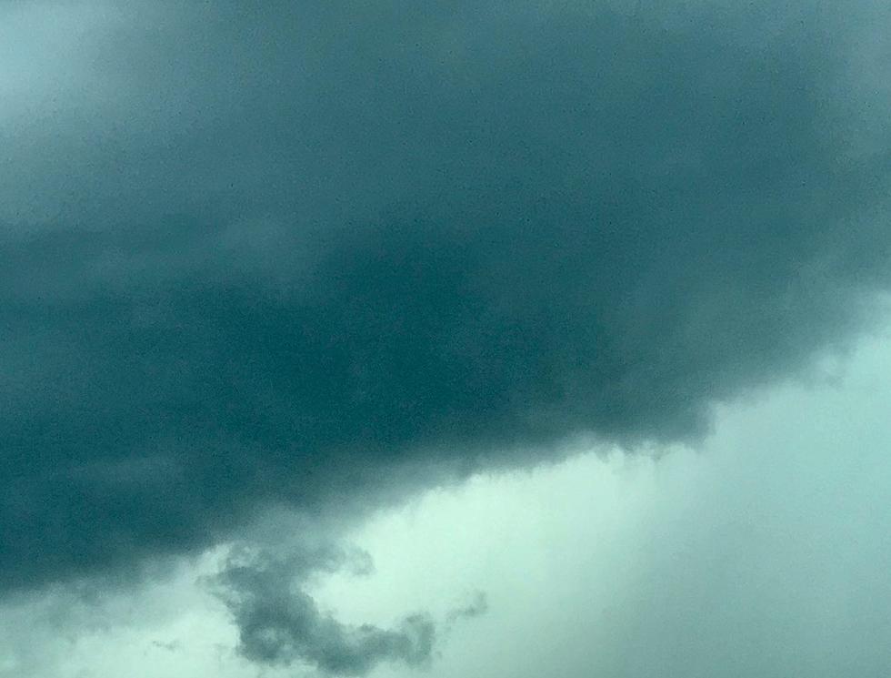
Tornadoes Possible As Severe Weather Looms Across Large Area Of Michigan
UPDATE as of 8:22pm Tue 9/3/19:
It appears the threat for severe weather has diminished for our region. At this time, some storms may come through the area, but severe weather is not expected from these storms.
ORIGINAL STORY:
Residents in Michigan should be prepared for the possibility of dangerous storms Tuesday. The National Weather Service says a large portion of the lower peninsula is in the "slight risk" category for severe weather according to the Storm Prediction Center.
According to a summary posted Tuesday morning, the NWS says that severe storms may occur from parts of lower Michigan and southward into northern Illinois, Indiana, and Ohio. The main threats from the storms would be isolated damaging winds, large hail and the possibility of a couple tornadoes.
Two rounds of storms are expected with the first ones moving southeast across Lake Michigan, into northern Michigan, and then south toward Muskegon and Grand Rapids. Eventually the storms will roll into the Kalamazoo and Battle Creek areas and then south into northern Indiana and Ohio.
The first storms are expected in the late morning and early afternoon. Other than some strong winds, these storms will likely not be severe according to the NWS. But the second round, expected by late afternoon and into the evening, could have the potential to be severe. Hail at least 1" in diameter is possible along with damaging winds of at least 60 mph and a possibility of isolated tornadoes. The storms are expected to be out of Michigan, or to have weakened significantly, by midnight.
Consumers Energy has teams prepared in Michigan as there is a chance for potential power outages from the storms. They said despite having crews assisting with recovery efforts for Hurricane Dorian, they are ready to handle whatever may happen in Michigan and the Midwest region Tuesday.
More From WKFR


