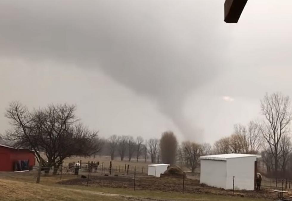
Southwest Michigan on Fringe of Expected Violent Weather Outbreak
Some very strong storms are expected for Saturday evening in areas of the Midwest, and the southwest region of Michigan is on the edge of the forecast areas for a violent outbreak of storms that could include tornadoes and large hail. The good news is that current forecasts indicate that the worst of the forecast is expected south and west of Michigan, particularly Illinois. But our region is still at a marginal risk for severe weather.
Showers are expected to increase Saturday evening and overnight. Very heavy rain will be possible, and could lead to localized flooding. A few storms may become severe, with hail the size of quarters or larger the greatest threat. Strong winds gusting to 40 to 50 mph will develop Sunday, and may cause some power outages or bring down tree limbs.
Several rounds of rain will move through West Michigan between Saturday evening and Sunday morning. Some of these will include thunderstorms, and bring very heavy rainfall. Most of the area will likely see around an inch of rain, but locations that see repeating thunderstorms may end up with closer to 2 inches of rain. This is going to get the rivers rising by later in the weekend and early next week.
A Hazardous Weather Outlook was reported Saturday by the National Weather Service for portions of southwest lower Michigan. There is a marginal risk for severe storms with the main threat being large hail. There is a low chance of a tornado late this afternoon and evening across the region. They did indicate that weather spotter activation could be needed during the late afternoon and evening as storms are expected to develop.
We will keep you posted with the latest weather updates.
See the Must-Drive Roads in Every State
More From WKFR


