Freezing Rain and Snow Today In Lower Michigan
A dangerous Wintery mix is hitting most of lower Michigan. Here's what you need to know.
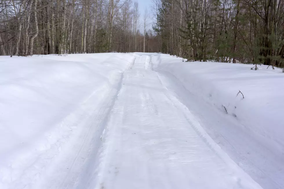
Light snow will be changing to freezing rain as the temps over just above the freezing mark this morning. We maybe at risk of hazardous driving conditions as well as power outages.
According to MLive,
The freezing rain advisory starts first in southwest Lower Michigan. The freezing rain advisory is in effect from 11 a.m. today, Monday, January 16, 2017 to 2 a.m. Tuesday, January 17, 2017 for Muskegon, Ottawa, Kent, Ionia, Clinton, Allegan, Barry, Eaton and Ingham Counties. This includes the cities of Muskegon, Grand Haven, Grand Rapids, Ionia, Holland, Charlotte and Lansing. Freezing rain is expected to develop late this morning or early this afternoon in the above mentioned region. Freezing rain should change to rain late Monday night.
The National Weather Service offered this Hazardous Weather Outlook,
TODAY AND TONIGHT

HIGH WATER LEVELS WILL CONTINUE THROUGH TONIGHT AS A RESULT OF THE
RECENT RAINFALL AND ICE IN THE RIVERS.

ROADS WILL LIKELY BECOME SLICK AS THE DAY PROGRESSES...ESPECIALLY
TO THE NORTHEAST OF A MUSKEGON TO LANSING LINE. PRECIPITATION WILL
BE MOVING IN AND SOME OF IT WILL BE FREEZING RAIN. WHERE THE
FREEZING RAIN PERSISTS UP TO A QUARTER INCH OF ICE COULD BUILD UP
AND LEAD TO SCATTERED POWER OUTAGES.
Quick summary: some portions of lower Michigan will see Snow followed by freezing rain today. Then rain tonight that will freeze.
We'll keep you updated on the weather, road conditions and more right here.
Bonus Video: Happy Birthday, You!
More From WKFR