Get Ready. Weather Tonight Could Get Ugly
While we don't have official watches or warnings from the National Weather Service, weather conditions could turn nasty tonight into tomorrow morning.
So far the National Weather Service has only issues a hazardous weather outlook.
SCATTERED THUNDERSTORMS WITH FREQUENT LIGHTNING AND HEAVY RAIN ARE
EXPECTED MAINLY BETWEEN 10 PM AND 5 AM. SOME STORMS SOUTH OF I-96
COULD PRODUCE HAIL UP TO QUARTER SIZE...ISOLATED WIND DAMAGE...AND
MINOR FLOODING.
(By the way, that same outlooks says expect some snow on Sunday or Monday)
Also, Consumers Energy sent this press release this afternoon.
High winds and heavy rain are expected across much of Michigan’s Lower Peninsula beginning Tuesday evening and continuing through Wednesday afternoon. With wind gusts of up to 60 mph expected, Consumers Energy employees are preparing for an increase in power outages due to storm activity.
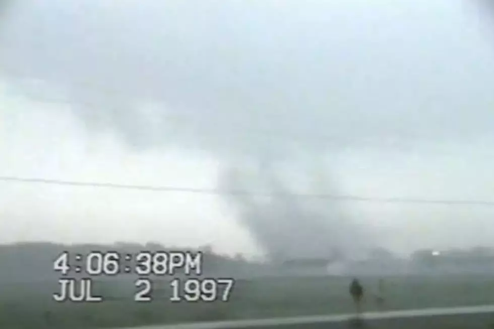
There are already tornado watches over Illinois.
weather map
More From WKFR